 Home
Home








Mapping Morphological and Hydrological Baseline Conditions of Sha Lo Tung Water Resources Using Remote Sensing Technologies
Project Description
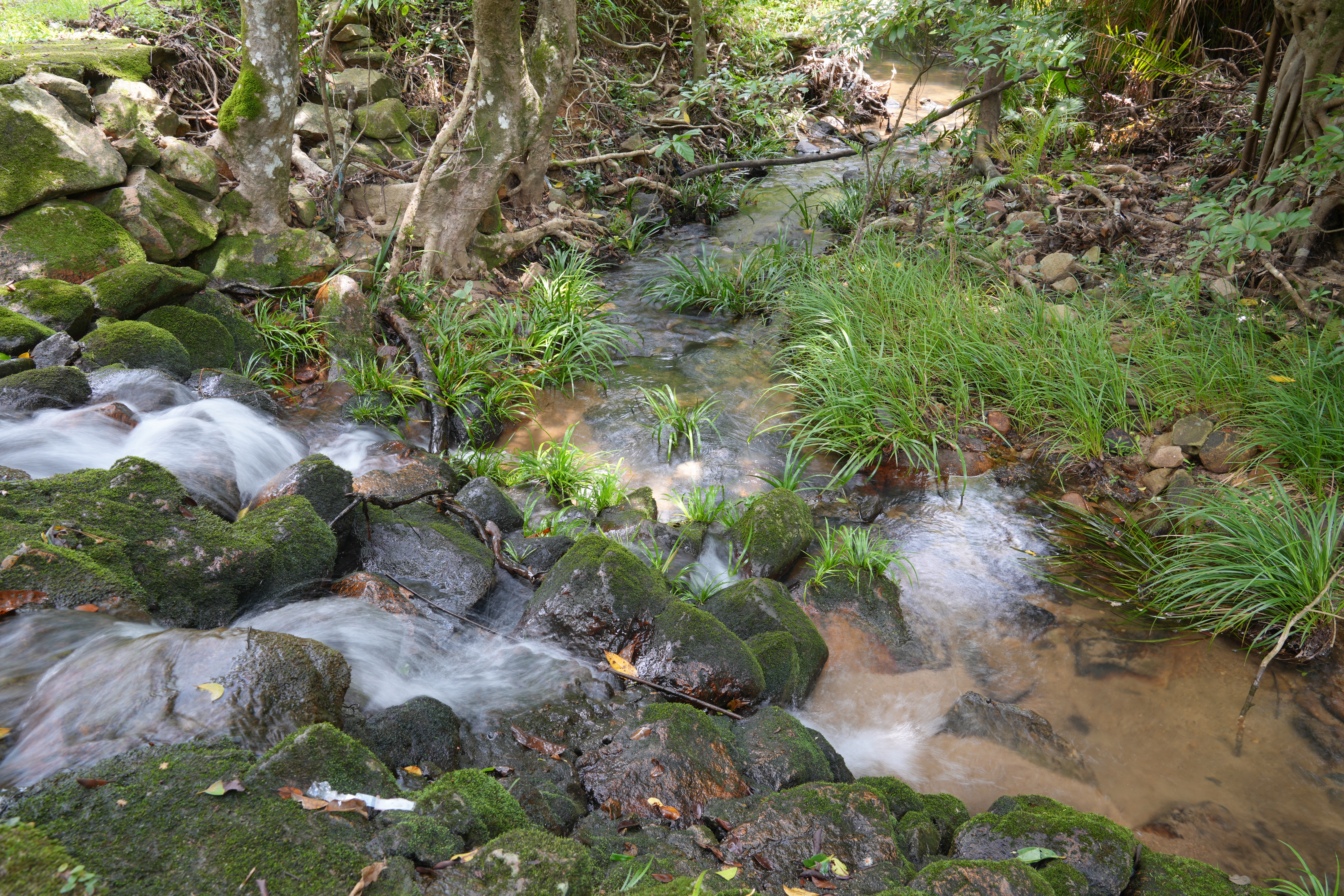
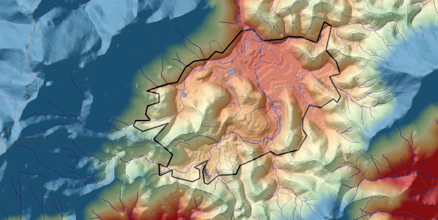
Sha Lo Tung (SLT) is an ecologically significant area, home to diverse dragonfly and freshwater species that depend on its streams and wetlands for survival. To support conservation, this project aims to survey and map the morphological and hydrological baseline conditions of SLT's water resources, including streams, marshes, and pre-existing irrigation channels and runnels. Critical data on the area's hydrology, stream morphology, geospatial structure, and groundwater systems are currently limited, posing challenges for effective water resource management. To address this gap, the study will employ advanced technologies, including Unmanned Aerial Vehicles (UAVs), Light Detection and Ranging (LiDAR), real-time kinematic (RTK), hyperspectral imaging, and sonar technology, coupled with field surveys. These tools will enable precise mapping and characterisation of SLT's water resources, such as stream width, depth, bottom sediments, and changes after extreme weather; spatial extents and seasonal variations of marshes; and the condition of irrigation channels and runnels. The findings will provide comprehensive data to develop strategies for sustainable water management, ensuring the preservation of SLT's wetlands and aquatic ecosystems. In the long term, this project could serve as a showcase for promoting the use of the latest technologies in countryside conservation.
Grant Approved
$2,999,000
Project Period
1 October 2026 to 30 September 2029
How To Get There
1 | Minibus + Hiking |
• Take green minibus No. 20P from Tai Po Market MTR Station to Fung Yuen Village, then hike for about 35 minutes to Sha Lo Tung
• Take green minibus No. 52B from Fanling MTR Station to the junction of Hok Tau Road and Hok Tau Wai, then hike for about 50 minutes to Sha Lo Tung
Project Update
Coming Soon