 Home
Home








Integrated Hydrological Model for Sha Lo Tung: Rainfall-groundwater-runoff
Project Description
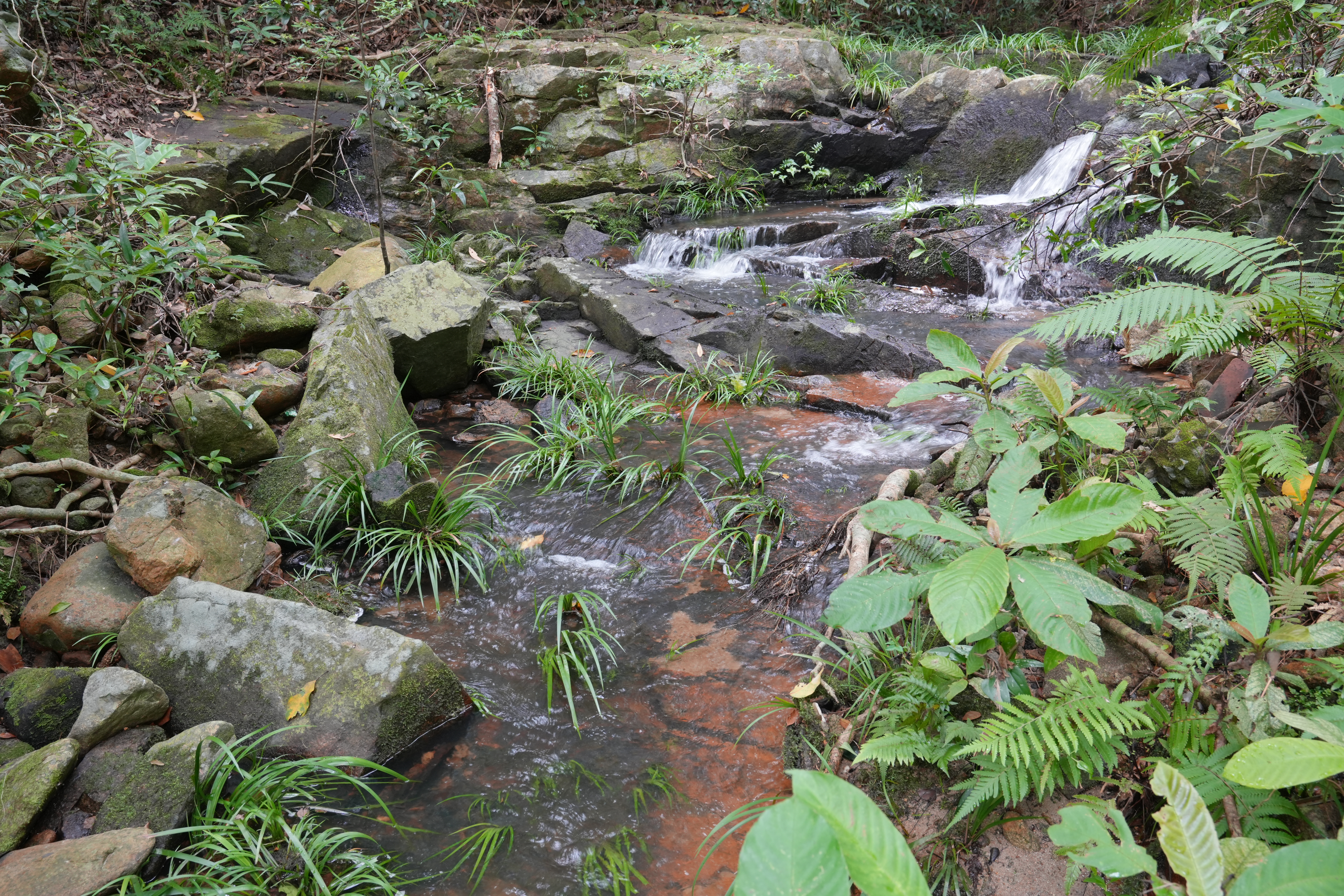
Sha Lo Tung (SLT) represents a critically important freshwater wetland ecosystem in Hong Kong. To promote the conservation of this unique habitat, considering the complex terrain features, different land uses, and the small area (159 hectares) of SLT catchment, we will develop a high-resolution distributed hydrological model by integrating three models: SWAT for surface runoff and land use impacts, TOPMODEL for mountain rainfall-runoff, and HEIFLOW for surface water-groundwater interactions. The new model will run simulations every 5 minutes and use a nested grid system, combining a 5-meter base resolution with 1- meter refinement in critical areas. This enables accurate simulation of the entire "rainfall-groundwater-runoff" process. The project will utilise data from the Projects "Establishing a Hydrological Monitoring Network in Sha Lo Tung" and "Mapping Morphological and Hydrological Baseline Conditions of Sha Lo Tung Water Resources Using Remote Sensing Technologies". Additionally, 3 to 5 sensor stations will be deployed to create a hydrological monitoring network, providing field data for model validation. The results will help preserve the ecological baseflow and offer a scientific basis for the sustainable development of this rural ecosystem.
Grant Approved
$2,976,000
Project Duration
1 October 2026 to 30 September 2029

How To Get There
1 | Minibus + Hiking |
• Take green minibus No. 20P from Tai Po Market MTR Station to Fung Yuen Village, then hike for about 35 minutes to Sha Lo Tung
• Take green minibus No. 52B from Fanling MTR Station to the junction of Hok Tau Road and Hok Tau Wai, then hike for about 50 minutes to Sha Lo Tung
Project Update
Coming Soon