 Home
Home








Establishing a Hydrological Monitoring Network in Sha Lo Tung
Project Description
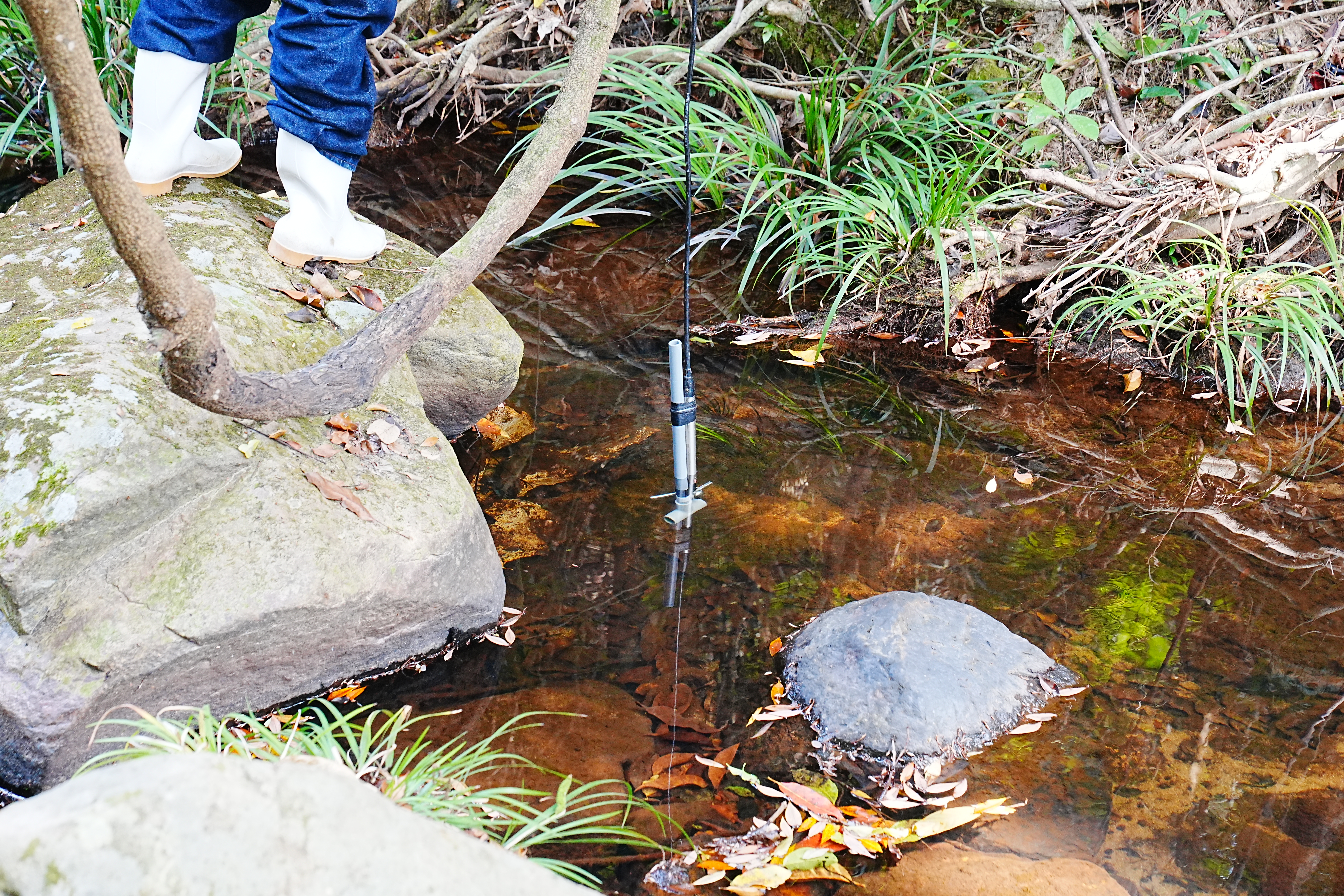
This project will involve the establishment of a smart hydrological monitoring network at Sha Lo Tung to continuously collect meteorological and hydrological data for a period of 24 months, as well as the development of a data storage and management platform with user interface for data visualisation to support habitat management, biodiversity conservation and water resource management at this ecologically important site. This network will include 5 streamflow monitoring stations, 9 water table monitoring stations, 4 soil water potential monitoring stations, 1 water quality monitoring station, and 4 meteorological monitoring stations. All these stations will collect data continuously at hourly intervals, which will then be transferred to a cloud server remotely. To supplement these automated monitoring works, this project will carry out manual measurement of hydrological parameters at multiple pairs of pools and riffles along the tributaries, measurement of water velocity across the river cross-section at fine spatial scale, intensive hydraulic measurements along the length of the 4 tributaries, and characterisations of soil morphological, physical and chemical properties. A series of public participation activities will also be organised to increase the public awareness about the importance of hydrology and the value of hydrological monitoring at Sha Lo Tung.
Grant Approved
HK$3,000,000
Project Duration
1 October 2026 to 30 September 2029
How To Get There
1 | Minibus + Hiking |
• Take green minibus No. 20P from Tai Po Market MTR Station to Fung Yuen Village, then hike for about 35 minutes to Sha Lo Tung
• Take green minibus No. 52B from Fanling MTR Station to the junction of Hok Tau Road and Hok Tau Wai, then hike for about 50 minutes to Sha Lo Tung
Project Update
Coming Soon